
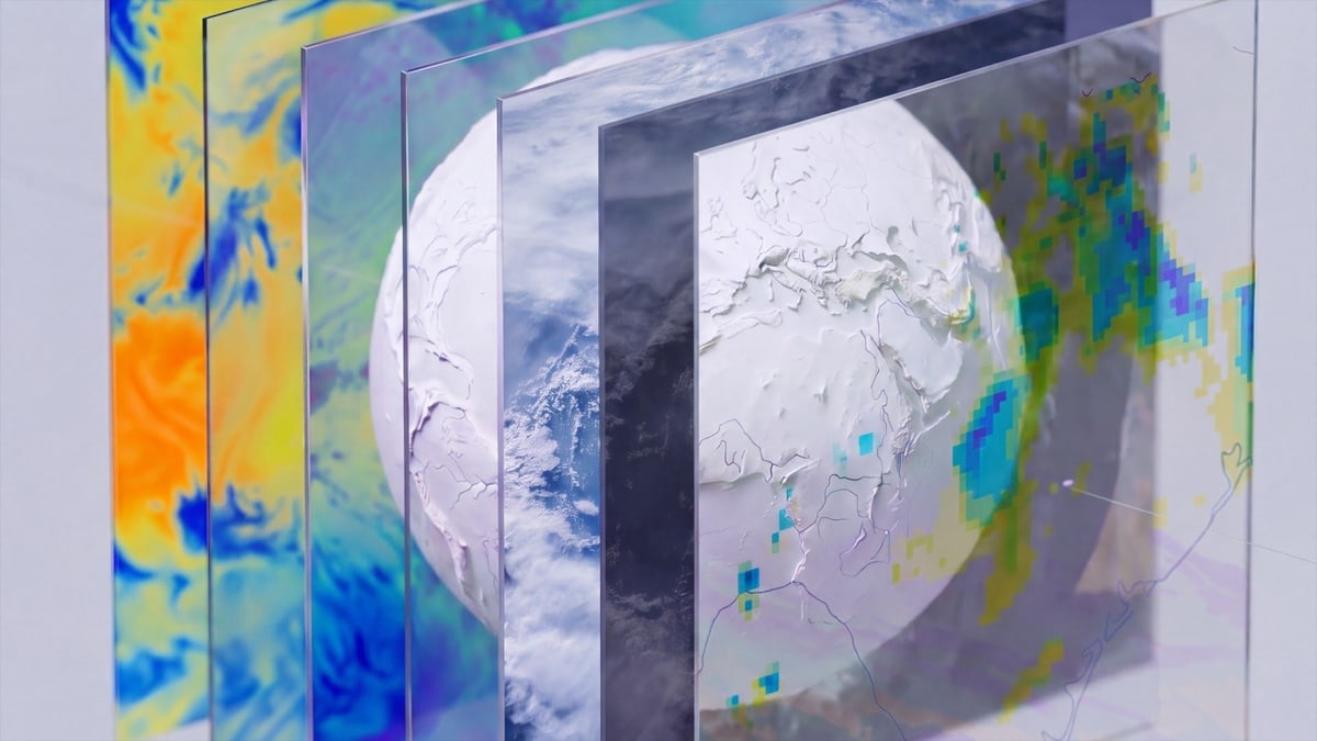
Google DeepMind on Friday, Nov. 13, released two sets of weather data that anyone with a Google Cloud account can use. One, called PARDIG, estimates how much rain and snow is falling everywhere on Earth, every 15 minutes, in squares about 10 kilometers across. The other, SatWeave, stitches pictures from five weather satellites into one view of the planet's clouds, updated every hour, though it can't see the far north and south. Both feed WeatherNext 3, the AI weather forecasting model Google released in September.
Measuring rain across the planet is harder than it sounds. Ground radars give some of the best readings, but they are expensive to build and run, so dense networks exist mainly in a handful of wealthy regions and not at all over the oceans, the researchers write. A satellite run by NASA and Japan's space agency carries a rain radar of its own, but it measures rain only along the strips of Earth it passes over. Google DeepMind and Google Research trained an AI model to predict those radar readings from SatWeave's satellite pictures and weather data from ECMWF, Europe's weather forecasting center, then ran it over the whole globe. PARDIG never uses ground radar or rain gauges at all, the researchers say.
Google says PARDIG beats the leading global rain records it was compared with, including NASA's IMERG, a widely used rain record built from satellites, whose final version is corrected each month with rain gauges over land. The checks used ground radar networks in the United States, Europe and Japan and more than 36,000 weather stations. On light to moderate rain, Google says, PARDIG detected hourly rain more than 30% better than the final version of IMERG in its checks against ground radar from 2016 to 2023. That final version comes out about three and a half months after the fact. PARDIG's estimates arrive about five hours after the rain on average, and sometimes up to eight, and the researchers say it also beat IMERG's early version, which comes out about four hours after the fact. They say the gains are largest for the most extreme downpours. These results come from Google's own tests, in a paper its researchers posted online on Nov. 10.
The release includes archives: PARDIG's estimates go back to 1999, and SatWeave's pictures to 2016. The older rain records, before 2016, come from a separate version built on older satellite data. The paper warns that the years before 2008 were built from thinner satellite records and should be used with care, and Google says long-term trends across the joined records should be read with care too. Both datasets come under a Creative Commons license. Google says it wants to work with others on better models for floods, landslides and drought, especially in places without dense ground radar, and to explore SatWeave for solar power and wildfire monitoring with outside researchers.
Google calls PARDIG experimental and says it is not an official forecast or warning: people should never rely on it alone and should follow alerts from their national weather service and local emergency officials. Google says the same of SatWeave. It also lists weak spots. PARDIG's edge over other records shrinks over high mountains such as the Alps and the Rockies, where NASA's record sometimes does better, and it underestimates winter rain and snow in snowy and mountain areas. Near the poles, beyond where the rain radar flies, its estimates have no radar readings behind them and should be treated with caution. It also caps rainfall at 75 millimeters an hour, which can cut off the peak of the fiercest storms.
It is not yet clear how much weather services or disaster agencies will lean on the data. Google says it expects PARDIG to be accurate even where there are no ground measurements, but the places that need it most are also the hardest to check: the paper says its tests are limited to areas that have ground radar or weather stations.